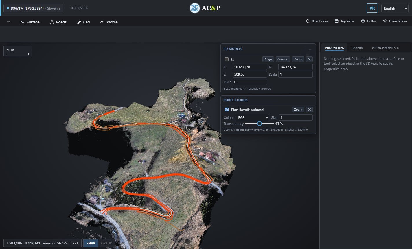
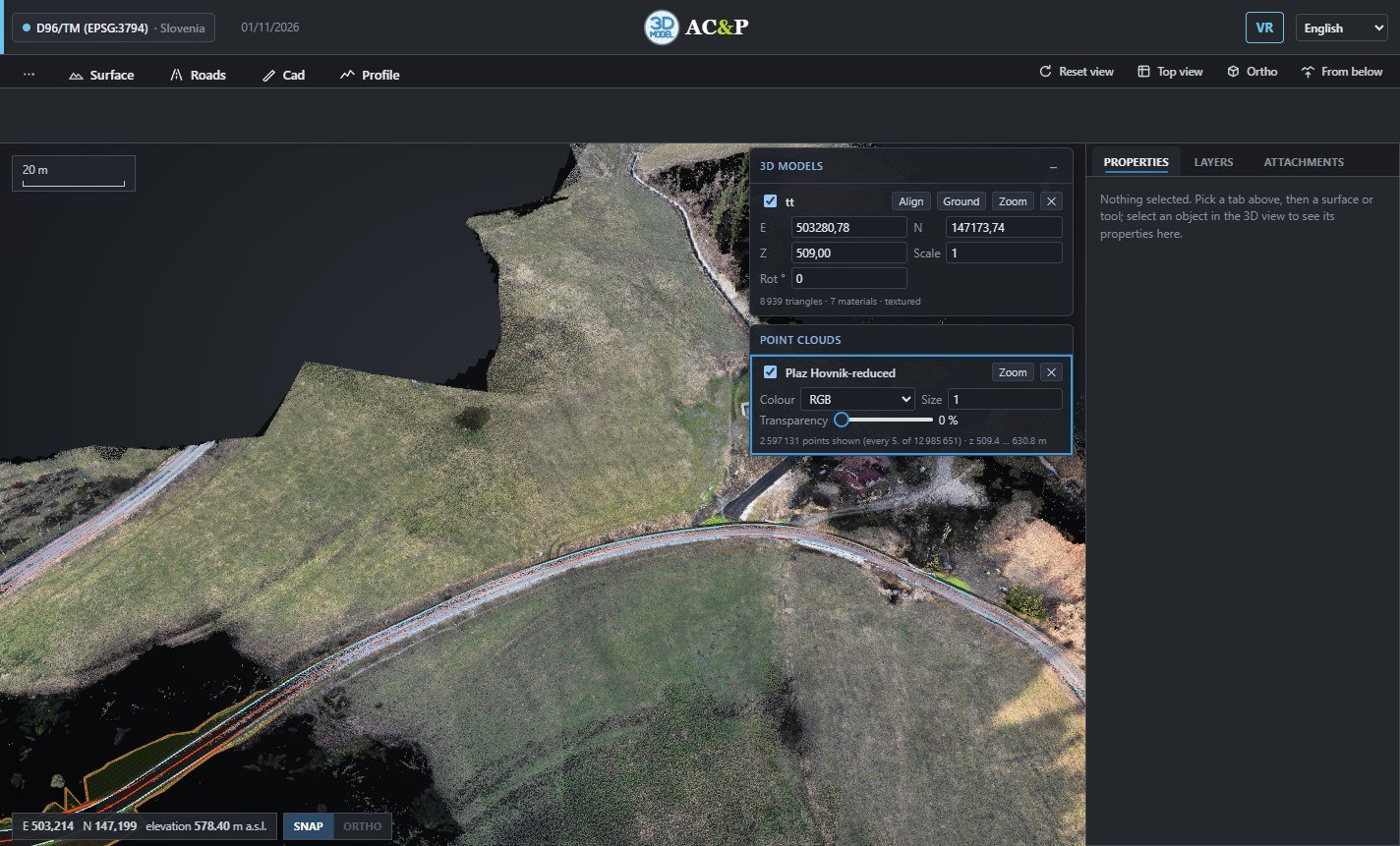
 scatter_plot2.6 million points in view
Point clouds and terrain at full resolution
Millions of drone or laser points, coloured by RGB, elevation, intensity or classification. Drape an orthophoto on the terrain and switch between surfaces in one click.
- check_circleLAS and LAZ point clouds
- check_circleTerrain from GeoTIFF, ASC, XYZ or LandXML
- check_circleOrthophotos with world file